
Is the community you cover located in or near a hot spot of cancer-causing industrial air pollution? The ProPublica reporters who built the most detailed map of toxic hot spots have created this guide to help journalists across the country illuminate the risks readers face and the remedies they might have to hold government and industry accountable. (For more background, you can learn more about air toxics and read our national overview story.)
As part of our effort to empower journalists to use this new tool, ProPublica is also hosting a virtual event geared toward journalists where our reporters can answer questions about the map, the underlying data and the shoe-leather reporting techniques they’ve employed. This event will be held on Monday, Nov. 22, 2021, at 3 p.m. Eastern time. Register here. (There will be a separate virtual event for the general public.)
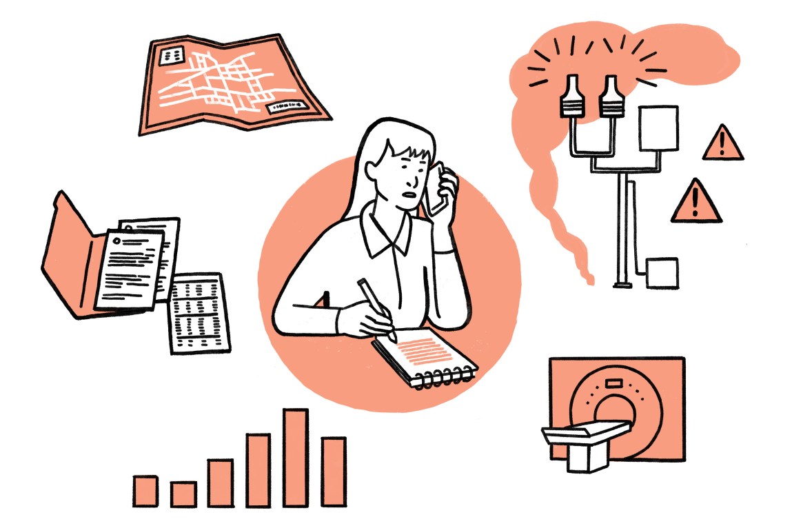
ProPublica’s original analysis of five years of modeled Environmental Protection Agency data identified more than 1,000 toxic hot spots across the country. There are hundreds of stories waiting to be told. We’re sharing our “recipe” for how you can investigate the hot spots near you and uncover the impact local air pollution is having on communities.
1. Dig Into the Emissions Data.
- Verify the data: Our map is built using data modeled from the EPA’s Toxics Release Inventory, a powerful public database that compiles emissions data from thousands of industrial facilities across the country. Because this data is self-reported by the facilities and not always vetted for accuracy by the EPA, we’ve found that it may contain errors. As you begin to research the potential pollution problems in your area, it’s important to reach out to any of the facilities you are looking at to ask them to confirm the numbers they have submitted to the Toxics Release Inventory. If they do not stand by their emissions data, they may update it at any time by submitting a new corrected form to the EPA. Our map currently shows data covering 2014-18, but the EPA has also published data for 2019 and 2020. You can use the EPA’s multisystem search feature to look up the facilities driving the risk in your hot spot and see if their emissions are increasing or decreasing.
-
Supplement the data: Our map does not visualize all the toxic air pollution in the environment. Only some facilities are required to submit their annual emissions to the Toxics Release Inventory, which means that small industrial facilities and mobile pollution sources like diesel trucks are not represented in our map, even though they may represent significant sources of air pollution. Given the myriad sources of pollutants, our analysis is likely an underestimate of the additional cancer risk that communities are facing from toxic air.
When telling a story or producing your own research about your neighborhood, you may want to consider supplementing the information provided by our map with other sources of pollution data, especially if you live in a place that has undertaken air monitoring or conducted studies on the exposure to pollution that residents may face from buses, cars and shipping ports. Keep in mind that additional toxic hot spots — and other important stories — may be present in locations that are not indicated by our map.
- Understand the model: Before you start reporting on the potential toxic hot spots near you, make sure you have a solid understanding of what can and can’t be said with the data. Our map uses data from a sophisticated computer modeling tool that predicts where air toxics are concentrated around facilities based on emissions data from the Toxics Release Inventory. That tool, known as the EPA’s Risk-Screening Environmental Indicators model, estimates the concentrations of toxic chemicals surrounding industrial facilities across the country. Since the data comes from a model and not from real air samples, it may not represent the actual conditions on the ground in a community and should not be used to describe an individual’s actual exposure to toxic compounds. While air models may provide conservative estimates of real-world conditions, they are often the best starting point for understanding how much any one facility or chemical might be contributing to a community’s cancer risk in an industrialized area. Read our explainer to learn more about air toxics.
- Nerd out: Our methodology offers a deep dive into what can and can’t be said about the data shown on our map. If you still have questions, email us.
2. Understand How This Pollution Is Handled by State and Local Regulators.
- Pull permits: Under the Clean Air Act, the EPA leaves much of the regulation of air toxics up to states and local authorities. Many large facilities are regulated under what’s called a Title V permit, which you should request from the state agency if it’s not already available online. These permits will help you understand just how much pollution these facilities are allowed to emit.
- Learn about the local rules: Spend some time familiarizing yourself with your state’s regulatory program. State, local and tribal environmental agencies are responsible for the majority of enforcement actions against polluters that are found to be violating the Clean Air Act, but the number of enforcement actions can vary widely from state to state. Also, some state agencies have pollution limits that are far stricter than the EPA’s federal standards.
- Download the local data: Many states collect their own inventories for air emissions, and in some states, that data is far more detailed than what you’d get from the Toxics Release Inventory. Be sure to research and compare all of the kinds of data the facilities in your area may have provided to the state. You might find important discrepancies in state and federal emissions data as a result of different reporting requirements or errors made by the companies. In some cases, local data might tell a crucial story on its own.
- Interview local regulators: Schedule an interview with a permitting authority in your state’s environmental department. Some questions you may ask are:
- How does my state decide whether to permit a new industrial development? Does my state require companies to model their future emissions when they apply to build a new plant or expand an existing one?
- Does my state consider the risks posed by industrial facilities and chemicals in combination? Or does it look at each facility and each chemical separately?
- Does my state have ambient air standards for air toxics? What cancer risk standard are they based on, and is that standard more or less protective than the federal EPA’s?
- Does my state monitor the air near industrial facilities? What does my state agency do with the air samples it collects? Do they ever lead to enforcement action?
- Does my state offer tax incentives to industrial companies? How do those incentives compare to those in other states?
- When permitting or regulating emissions from industrial facilities, is my state considering the potential for disproportionate impact on low-income neighborhoods and communities of color?
3. Get to Know the People Who Live and Work in the Areas You’re Covering.
- Talk to residents: Americans who live near the fence lines of an industrial facility’s property are often the best experts on industrial pollution, the impact it has on their communities, and the history of the facilities polluting their neighborhoods.
- Talk to activists and community leaders: Some residents are also citizen scientists and activists, documenting the smells that plague their neighborhoods, cataloguing the new construction permits and studying the myriad health issues faced by their neighbors and loved ones. Connect early and often with locals who have started community groups. Reach out to local and national environmental advocacy organizations that may have already researched the plants in the area, prepared litigation and collected important data.
- Talk to the people who own and operate the facilities you’re reporting on: Learn about what the facility makes and does, why it uses the chemicals you are reporting on and what its history in the community is. Make sure to ask facility representatives how they generate their air emissions data and request their response about elevating the estimated cancer risk in the area.
- Talk to workers: Workers within these facilities might be able to help you understand what the facility makes, why it’s using certain chemicals and what the company’s track record is like on safety and environmental issues. Some industrial workers are unionized. Reach out to the local chapters of the unions affiliated with the industrial facilities near you to learn about their experiences with the companies. Some questions you may want to ask: Do workers feel safe on the job? Have any union members been injured? Do they have environmental concerns? Workers may also have a legal right to request more information about their exposure levels from their employer. Workplace regulations regarding chemical safety are different from air pollution laws that cover the general public.
- Talk to educators: Carcinogenic air pollution may put children at a greater risk than adults. We’ve found that these hot spots often contain schools and day care centers. Educators in these areas, along with other community leaders, may be valuable sources of information for learning more about the history of the pollution and its long-term health effects on families in the neighborhood.
- Talk to state legislators: Reach out to local and state politicians to ask, among other things, about tax breaks that industrial companies receive, campaign finance contributions given by industrial companies, the state environmental agency’s budget, and whether there’s funding for ambient air monitoring near industrial sites.
4. Gather Documents.
- Enforcement records: The EPA has an easily searchable public database called ECHO that includes inspection records for individual industrial facilities. It’s a good place to start for determining whether the federal government has identified violations at the industrial plants in the area you’re reporting on.
- Inspections: State environmental agencies carry out their own inspections of industrial facilities. Request inspection records from your state’s agency and compare its findings to those of the federal government.
- Health and safety records, studies and emails: Official studies and unofficial emails can help you learn more about the facilities you are reporting on and the effects of the chemicals in your area. To gather as much information as possible on local pollution, consider filing public records requests from your region’s Occupational Safety and Health Administration office, the regional EPA office, the county’s health department, the state’s health department, the area or city’s construction permit offices, federal agencies such as the Agency for Toxic Substances and Disease Registry, public school districts, the offices of state legislators, and the local fire department.
- State archives: Want to know the full history of a plant’s emissions? State environmental agencies don’t always hold on to the full set of records. For older records, reach out to your state archive. While these records may no longer be referenced by current regulators, they can provide historic context for how emissions have changed over time, including, in some cases, the years before the EPA established its Toxics Release Inventory.
5. Learn About the Chemicals and the Science.
- Cancer registries: State health departments maintain cancer registries. You can download or request this data to determine whether there are higher rates of cancer in the area you’re reporting on. Remember to check to see whether the cancers in the state data are the type that are caused by the specific chemicals in the air. For example, ethylene oxide has been linked to lymphoma. If the plant you are covering emits this chemical, you could look to see if the state data indicates elevated rates of lymphoma in your coverage region. That said, it is difficult to make any determinations about health effects from air toxics using cancer registry data because the data is often only available at the county level, across which emissions may vary widely. Keep this in mind when you’re using cancer data and try to obtain the most granular data available.
- Gather as much evidence as possible: Any exposure risk on our map must be corroborated by additional research, such as site-specific risk assessments, cancer cluster studies and air monitoring. Such studies and research may be available from universities, federal agencies (including but not limited to the EPA), and state and local health departments.
- Caveat appropriately: Our map should not be used to try to establish with any certainty that an individual case of cancer was the result of toxic releases from specific industrial facilities. Rather, it provides a way for readers to begin learning about the potential sources of industrial cancer risk near them. Different air toxics have different long-term health effects. Check out the chemicals being emitted in your hot spot and find out what health effects they can cause by looking them up in the EPA’s IRIS database.
- Consider other kinds of exposure: It’s not just the air that’s worth investigating. Toxic pollution can seep into nearby soil and water systems. Skin can be exposed by touching surfaces with toxics on them, though this is likely to result in smaller doses of exposure. Residents may also be exposed by eating food grown in toxic soil or by drinking contaminated water. Connect with toxicologists and medical experts to learn more.
- Investigate the other health effects: Our map focuses on cancer, but air toxics are linked to many other health effects as well, such as headaches, asthma, seizures and poor birth outcomes. Look for research and studies documenting these other critical health effects in your area and be sure to ask about them in interviews.
Looking for Tips in Your Area?
Additional Resources.
To keep learning about the places shown on our map, check out these resources for additional information on industrial facilities, the toxic air pollution they release, and their estimated health risks:
- The National Air Toxics Assessment, an EPA screening tool that suggests what the long-term cancer and health risks might be if toxic air emissions were to remain the same over a lifetime.
- The Toxics Release Inventory program, an EPA database where you can find which chemicals a facility is using and how much of the chemicals the facility is releasing into the air each year.
- The Political Economy Research Institute at the University of Massachusetts, Amherst’s “Toxic 100 Air Polluters Index,” which has searchable reports and rankings for the top air polluters in the country.
- The National Emissions Inventory, a federal collection of data on local air pollution emissions that is published every three years.
- Enforcement and Compliance History Online, an EPA tool where you can look up industrial facilities and their past compliance with environmental regulations and find any enforcement actions agencies have taken against them.
- EJSCREEN, an EPA mapping tool that combines information on cancer and health risks from pollution with demographic information.
- The government’s plain English guide to the Clean Air Act.